Living Memory Lower Marshalls Creek
Project
Environmental history
Flood preparedness
Marshalls Creek doesn’t hold the status of bigger nearby Brunswick River. It moves more modestly through the landscape.
Yet again and again, this creek has shaped the lives of those who live beside it — through flood, controversy and renewal. Its story is inseparable from the story of Ocean Shores, New Brighton and South Golden Beach.
It regularly floods. But there have been lengthy periods without big flood events. When they don’t come for a while our memory of them starts to fade, along with the local knowledge and experience learned from them. New residents arrive without the local knowledge older residents built through direct experience. Kids grow up without experiencing the stories told. How do you hold onto that knowledge, and put it to use?

Lower Marshalls Creek, 2026. Photograph by Elise Derwin.
Background
In 2024, we embarked on a project we called Living Memory to document the history of North Lismore, a suburb is transitioning from a vibrant residential neighbourhood to a new future. Many residential properties in North Lismore are part of the buyback stream of the Resilient Homes Program, the largest residential buyback program in Australian history. Through portraits, reflections and historical materials, we celebrated the people and place of North Lismore.
The work revealed how the people of North Lismore have valuable insights to share with a growing number of communities as climate change brings more hazards.
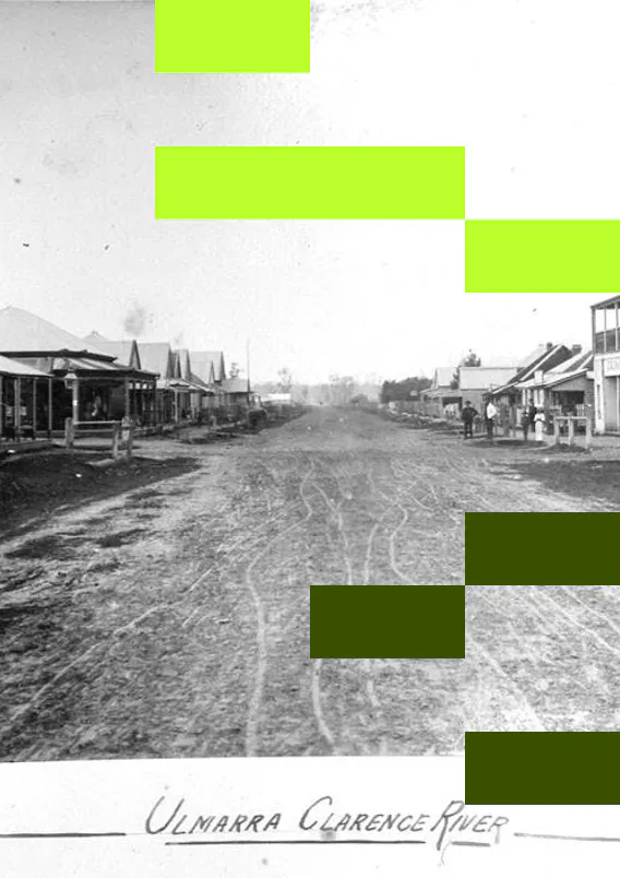
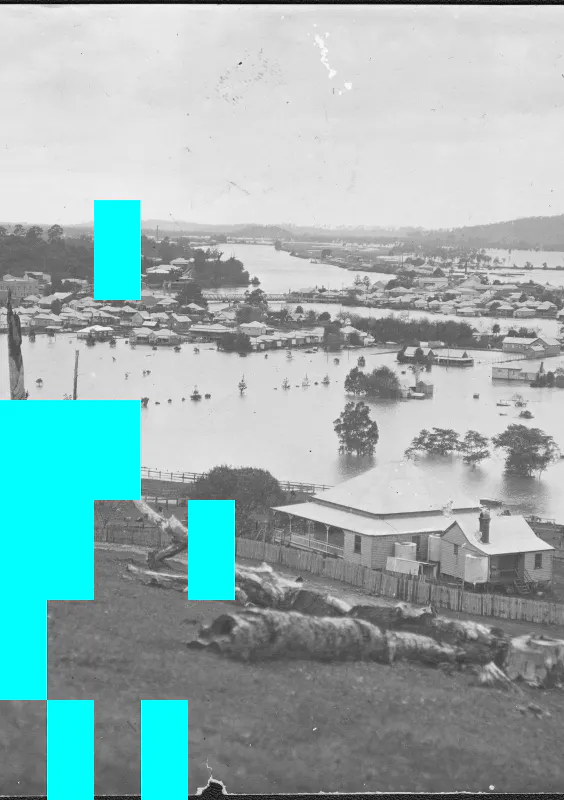
Building on what we learned, we took Living Memory to four more communities across the Northern Rivers (South Murwillumbah, Coraki and Ulmarra), and the communities along lower Marshall's Creek (South Golden Beach, New Brighton and lower Ocean Shores).
We explored and documented the history of the rivers and stories of place, taking community portraits, and talking about what it means to live with risk. We're doing all this based on a simple premise: if you know about the history of hazards in your area, you're more likely to be prepared for what might come.
Living Memory Lower Marshalls Creek was developed and delivered between October 2025 and June 2026. It responds directly to the 2022 Northern Rivers floods and the recovery and resilience efforts that followed. On this page we share some of what we've learnt.
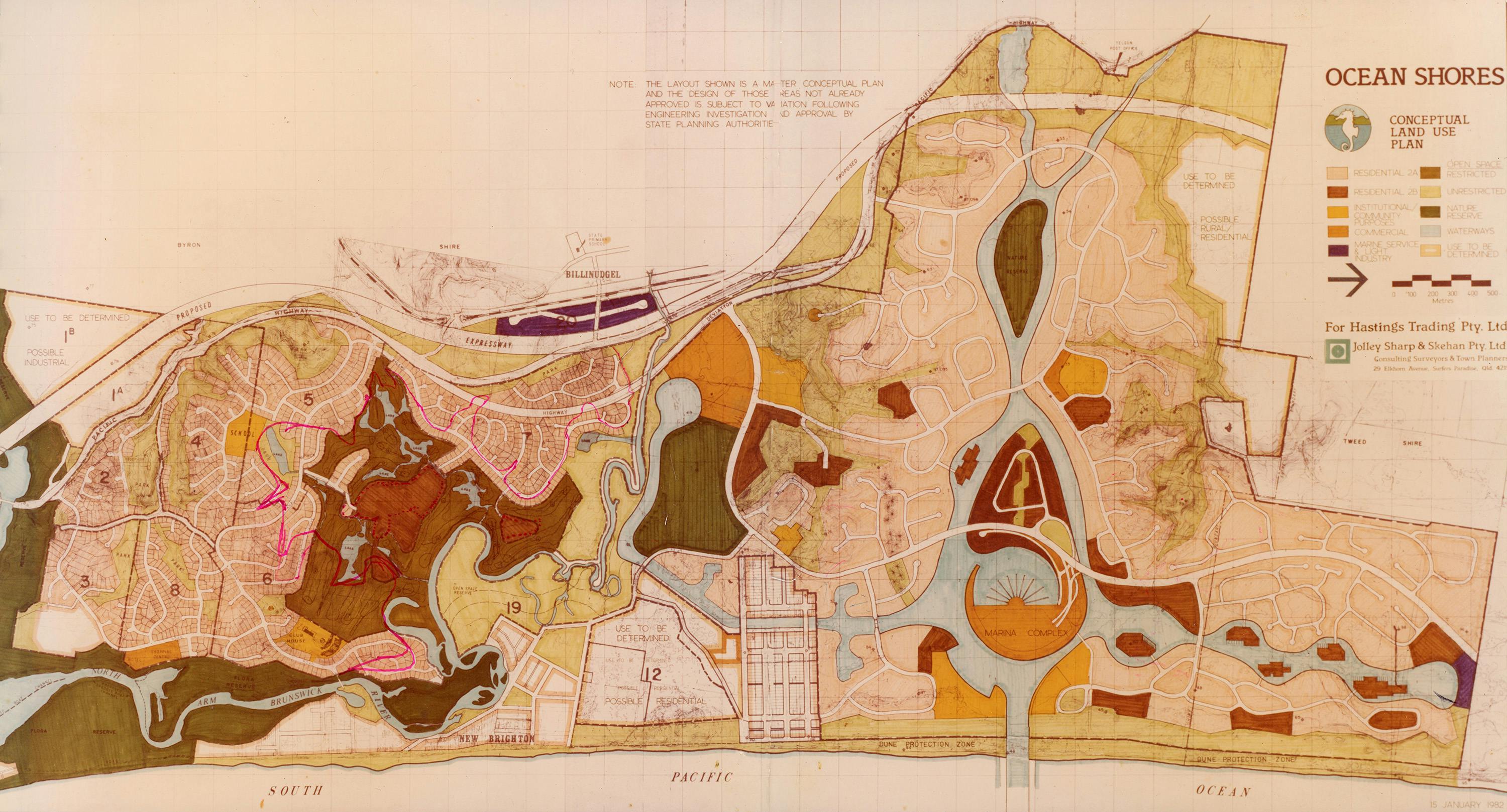
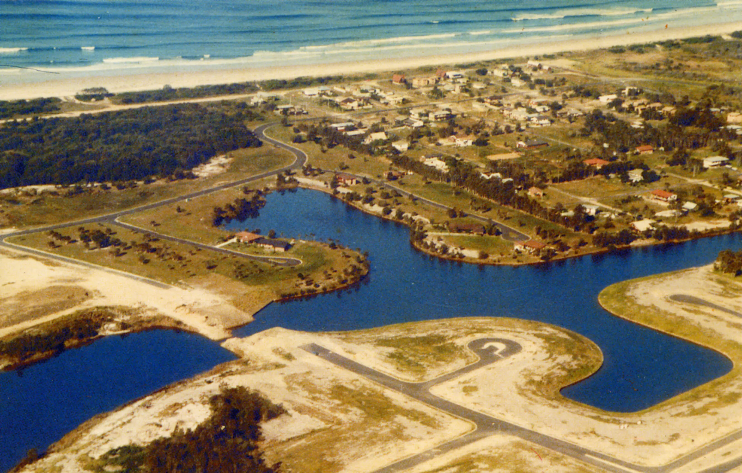
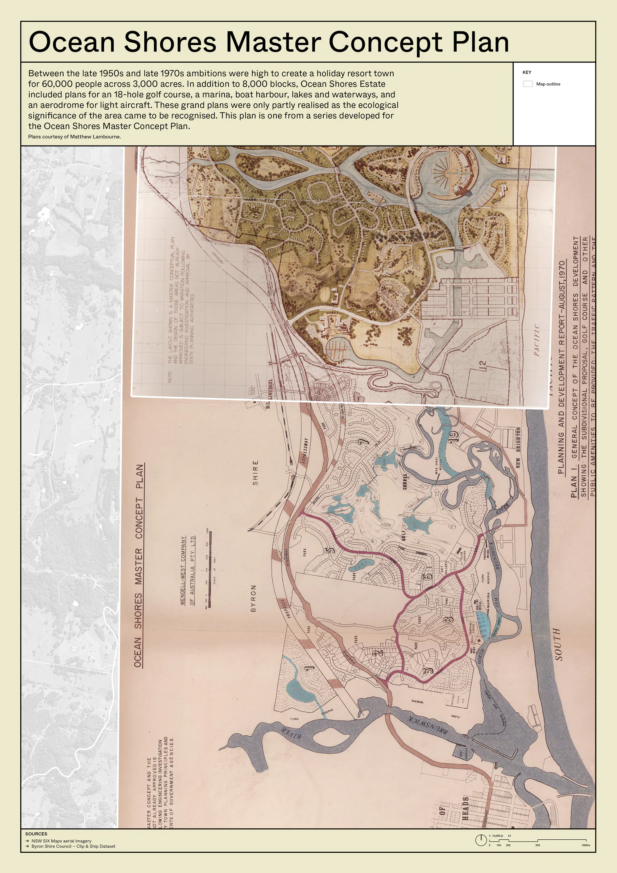
Ocean Shores Estate concept masterplan. Image courtesy of Matthew Lambourne.
Locating Lower Marshalls Creek
The waterway we now know as 'Marshalls Creek', doesn't hold the same status as the bigger river, Durrumbil/Brunswick River, that flows out to the ocean nearby. It moves quietly through Minjungbal Country; flowing through paperbark swamp and pasture, beneath bridges and behind back fences, widening and slowing as it weaves its way through the mangroves seeking the sea.
Yet again and again, this modest creek has creeped into the consciousness of the people who’ve lived beside it. Its a story of Country and custodianship, of boom and bust, and of a landscape repeatedly reshaped by the tension between the profit motive and the natural cycles it has been shaped by for thousands of years.
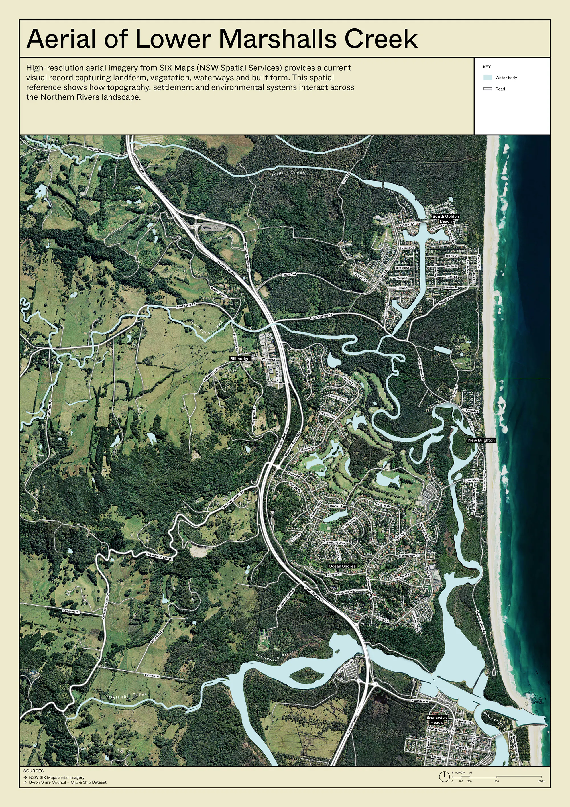
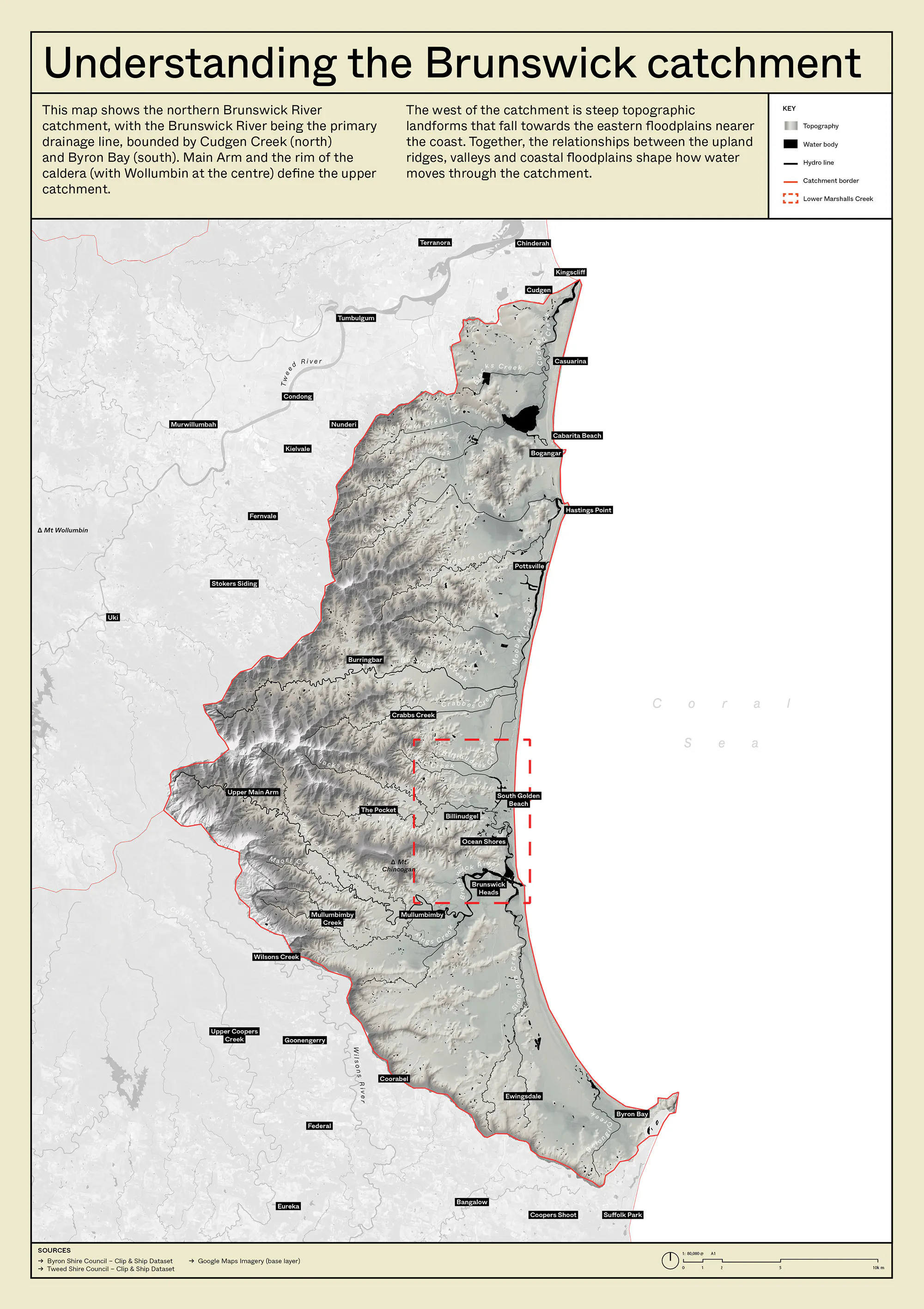
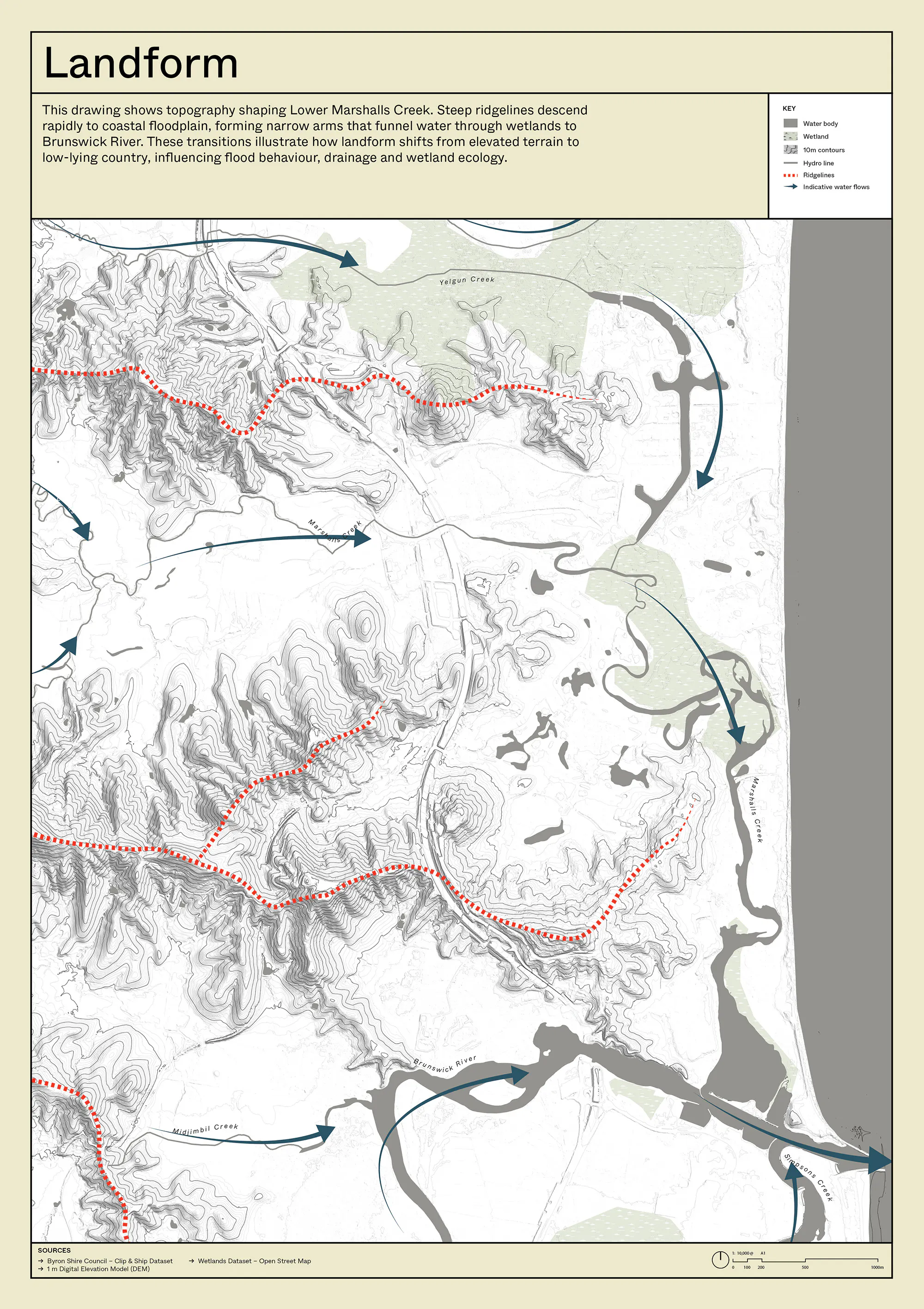
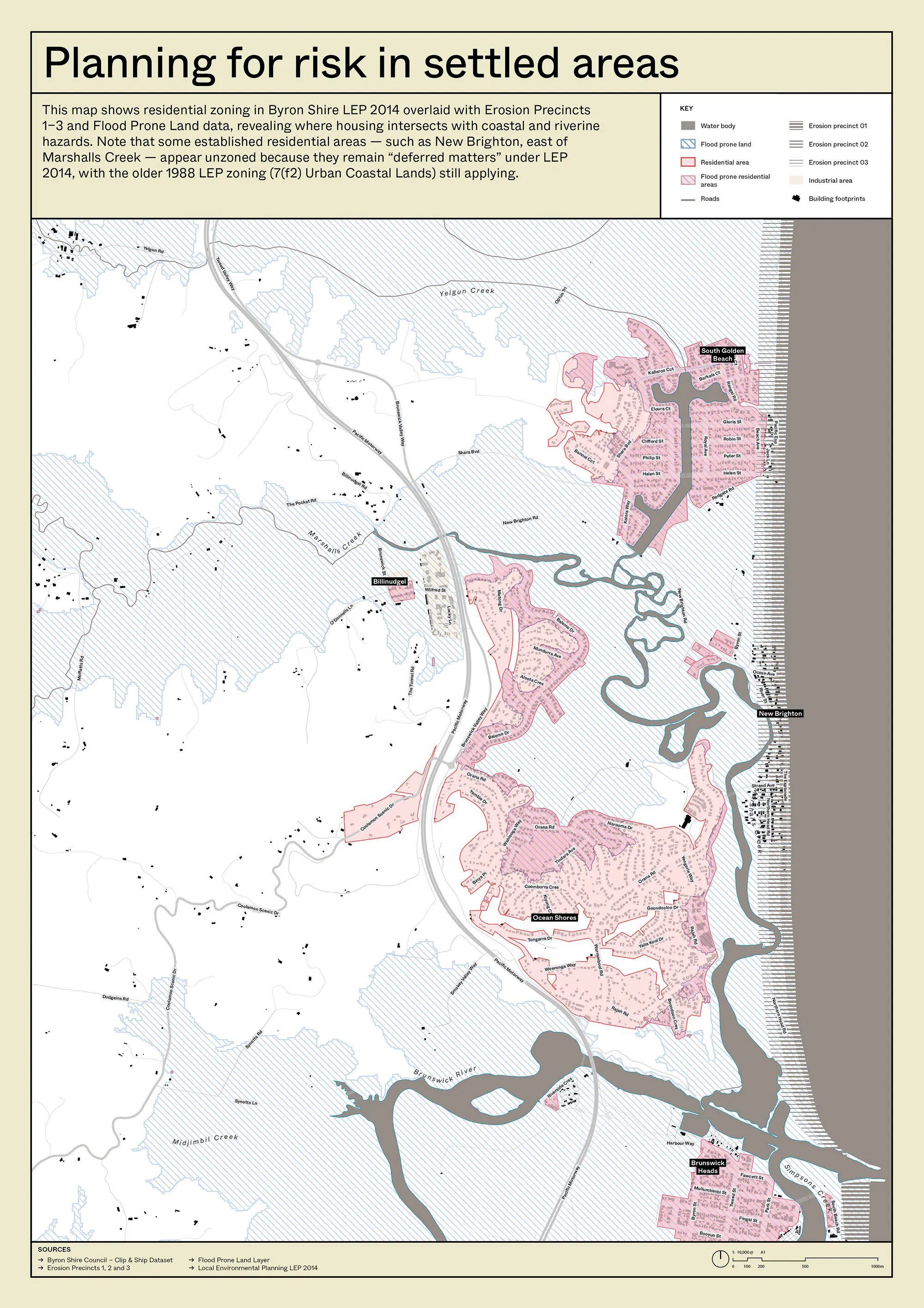
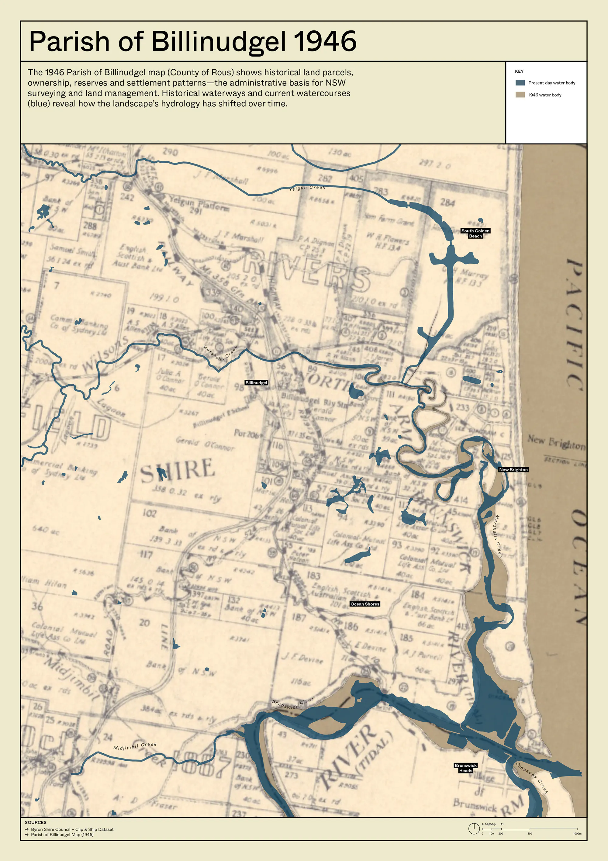
Below is a series of maps which show the Brunswick catchment, Lower Marshalls Creek, the landform of the catchment, flood prone areas, erosion precinct areas, and a couple of historical maps.
An environmental history
We've been digging through archives. Old newspapers. Aerial photos. Property records. We found cedar-getters and railway camps. A minor gold rush sparked by ducks. American developers, a shipping billionaire, Alan Bond, and a marina that never got built. Levee walls that pushed water somewhere else. Decades of decisions – some deliberate, some accidental – that changed how water moves through this landscape. It's an interesting story.
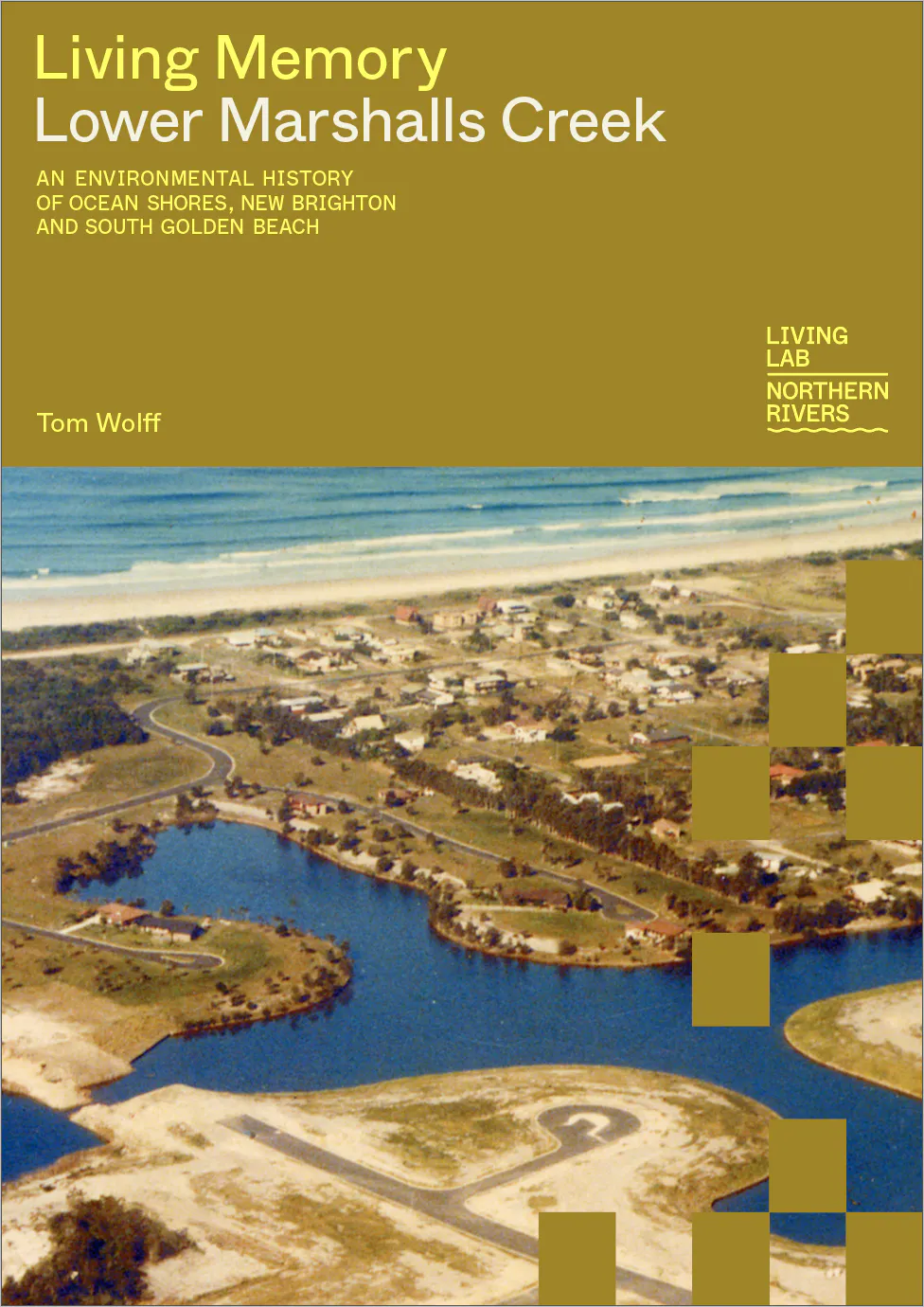
Read An Environmental History of Ocean Shores, New Brighton and South Golden Beach, written by Tom Wolff, to learn more about this story.
An environmental history
Learn more about the environmental history of Lower Marshalls Creek.

This timeline, created in collaboration with community members, traces the story of the land and waterways around Ocean Shores, New Brighton and South Golden Beach since the 1940s.
Project collaborators

Tom Wolff
Tom Wolff grew up on Bundjalung Country in the Northern Rivers and is interested in the history of the places and people that make this place so special. He is the Co-Founder of local environmental organisation and storytelling project Revive the Northern Rivers

Elise Derwin
Elise is an award-winning photographer based on Bundjalung Country in Lismore, NSW, specialising in documentary and editorial photography.
Her images have featured in the Sydney Morning Herald, The Guardian, The Australian and other major newspapers. Elise has worked extensively across Australia, particularly in the Northern Territory, and completed assignments in the United States, Timor-Leste and Indonesia.
Fuelled by genuine connection to people and places, Elise aims to capture whole stories, not just moments. By taking time to know her subjects, she tells important, often personal stories through images filled with humanity and compassion.

Mackenzie Saddler
Mackenzie is a recent UTS Landscape Architecture (Honours) graduate dedicated to creating neutral and welcoming spaces that foster connection.
With a particular interest in integrating Indigenous Knowledges into urban and public space design, Mackenzie approaches each project with a commitment to honouring place and community.
He believes that if you look after place, and the community of that place, it will look after you, a principle that shapes the foundation of his work.
About the Living Memory series
Living Memory Lower Marshalls Creek is designed as a replicable methodology — developed to suit this place and this community, and adaptable to others. Companion projects Living Memory North Lismore, Living Memory South Murwillumbah, Living Memory Ulmarra and Living Memory Coraki apply the same approach in different Northern Rivers communities.
The Living Memory toolkit
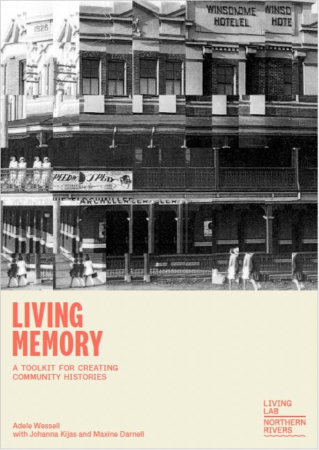
We’ve put together a toolkit for creating community histories. A 70+ page guide developed through this project to support anyone interested in undertaking community history or personal history work.

Hainsville store and post office (c.1880–1884) named after the owner Marian Hains (pictured with her children) was located where Coolamon Scenic Drive terminates at Ocean Shores. Image courtesty of Brunswick Valley Historical Society.
Thanks to Brunswick Valley Historical Society, Tweed Richmond Library (Byron Bay local history room), Tweed-Byron Local Aboriginal Land Council, Ocean Shores Country Club, Ocean Shores Community Association Inc (OSCA), Dr Dianne Bloomfield, Matthew Lambourne, Rebecca McNaught, Rob Appo and Wesley Morgan for their contributions.
Living Memory Lower Marshalls Creek received funding from the Australian Government through the Northern Rivers Recovery and Resilience Program, administered by NSW Reconstruction Authority.
__
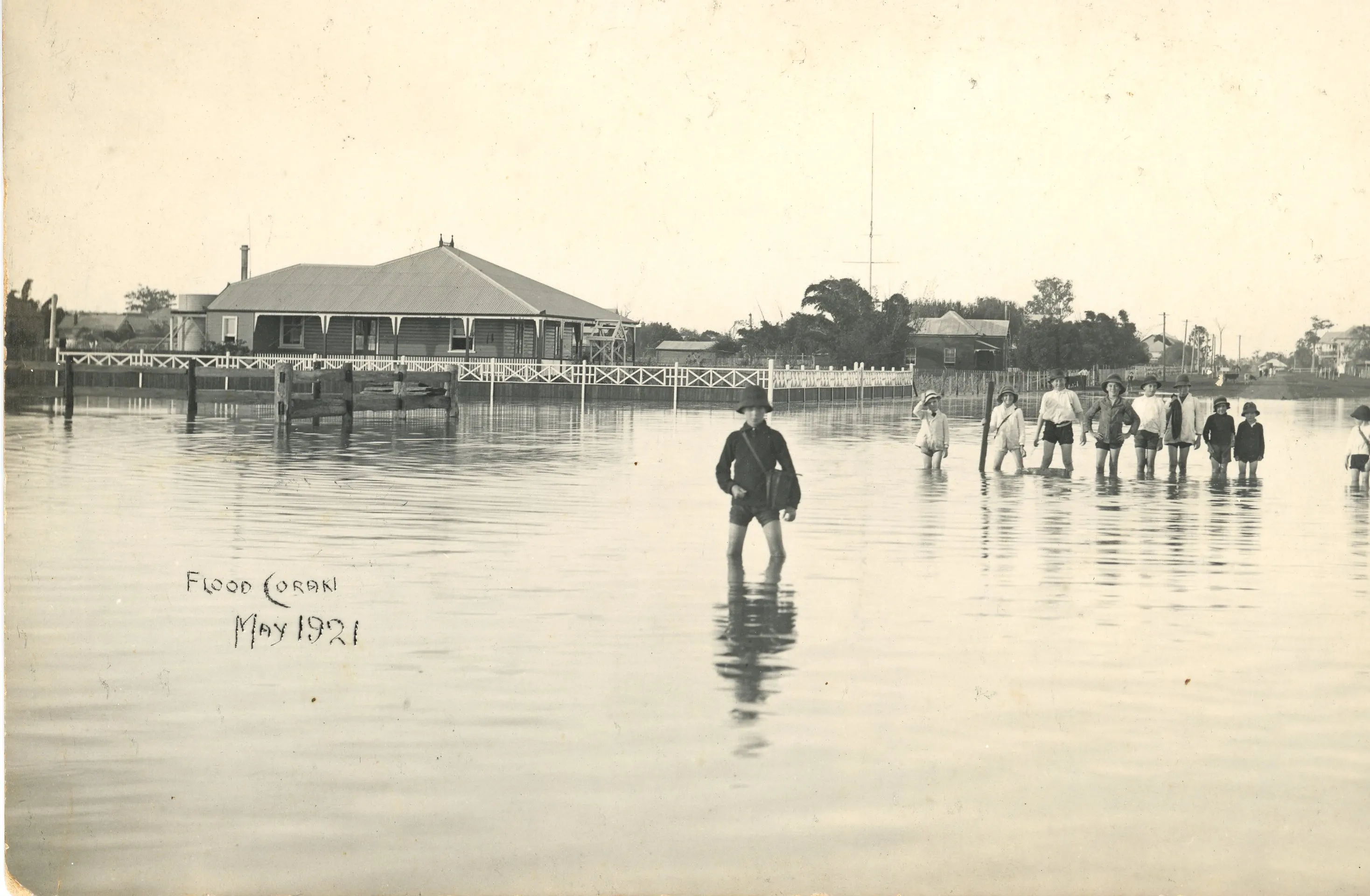
Banner image: Coraki, 1921. Image courtesy of Mid Richmond Historical Society.