Living Memory Coraki
Project
Environmental history
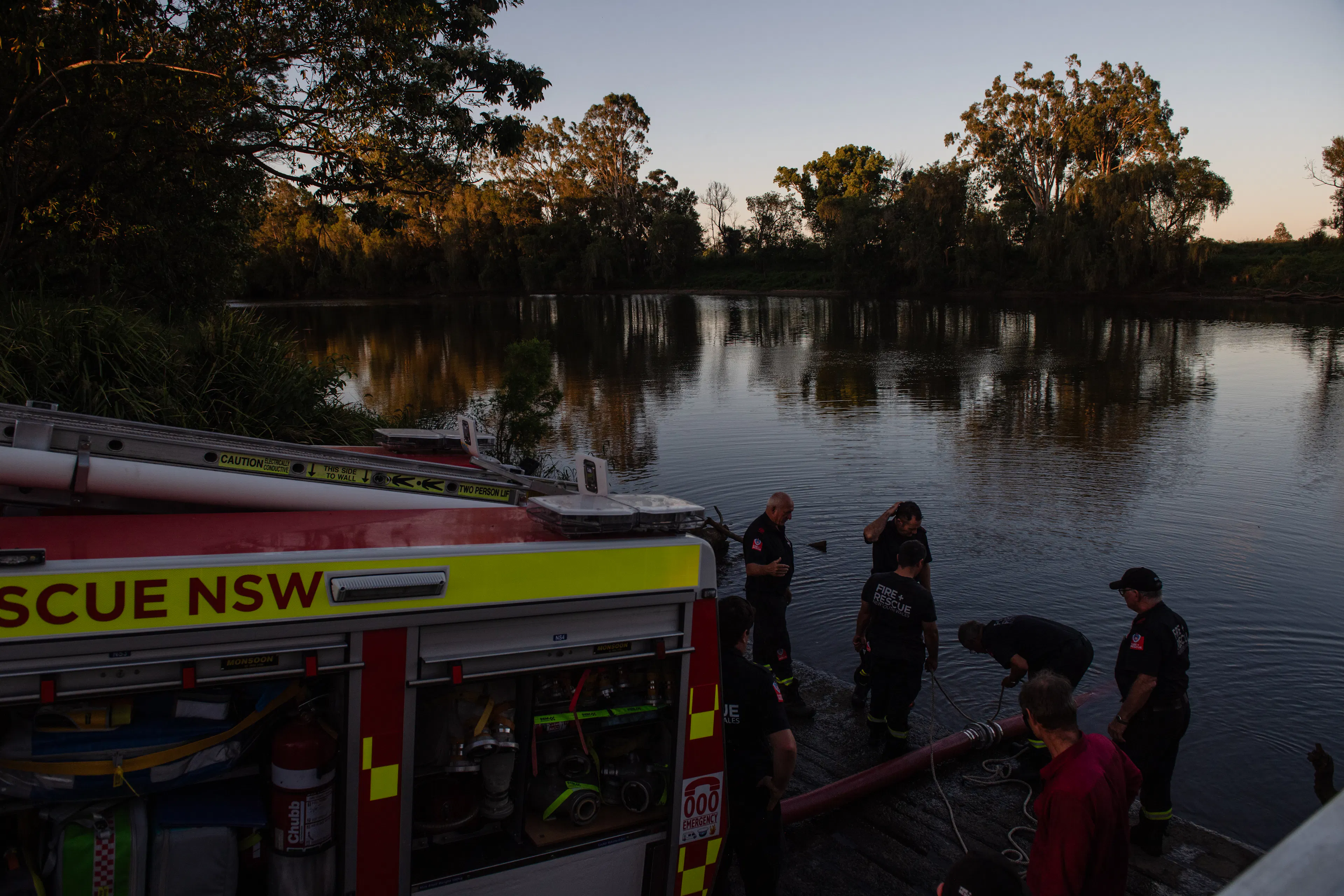
Flood preparedness
“Not only are we likely to see just as big floods as any of the past, but possibly even bigger ones.”
— Richmond River Herald, 29 July 1921.
That warning proved right. After 28 years without a serious flood the 1921 event proved that Coraki's flood risk hadn't disappeared. 49 major floods of 5.7 metres or more have been recorded since 1870. How do you hold onto that knowledge, and put it to use?
When floods don't come for a while our memory of them starts to fade, along with the local knowledge and experience learned from them. New people move in. Not everyone knows how to activate the flood plan. Children grow up without hearing the stories.
Living Memory Coraki was created for and with the community of Coraki, a project to bring local flood knowledge together with the official and historical record of this place. It seeks to show why history matters for your safety.
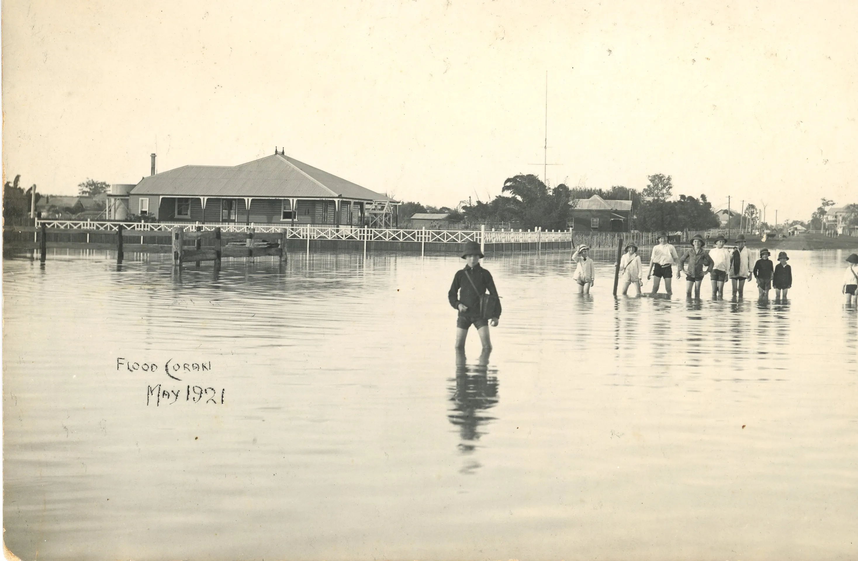
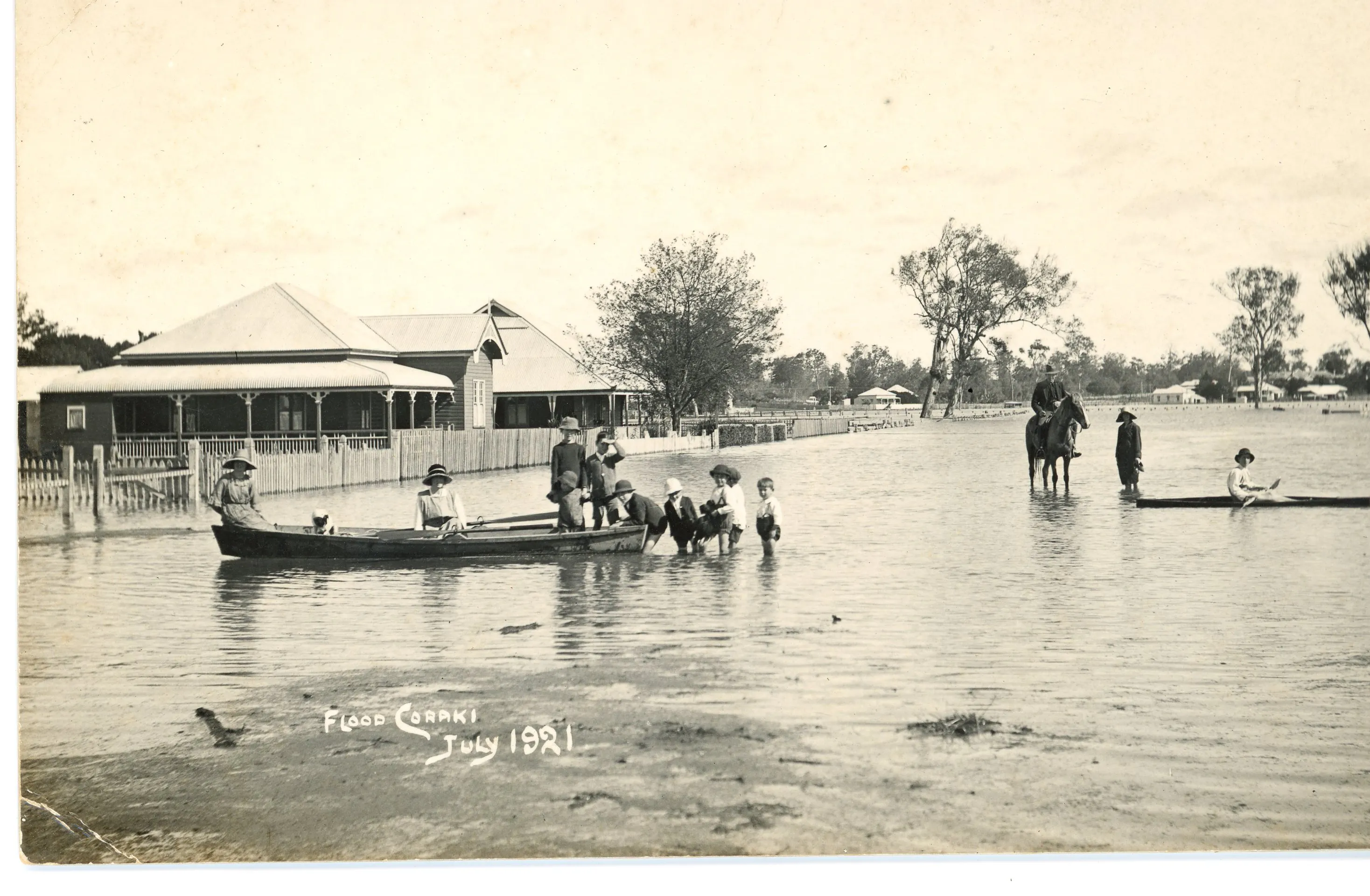
Flood in Coraki, 1921. Image courtesy of Mid Richmond Historical Society.
Locating Coraki
Coraki sits at the confluence of the Richmond and Wilsons Rivers, one flowing eastward from Casino and the other southward from Lismore. From this junction the river continues south for around eight kilometres to Bungawalbin Creek, before passing through Woodburn, Broadwater and Wardell, and entering the Pacific Ocean at Ballina. The name Coraki derives from the Bundjalung word Gurigay, meaning 'meeting of the waters' — a description that captures the town's physical geography and its deeper cultural significance.
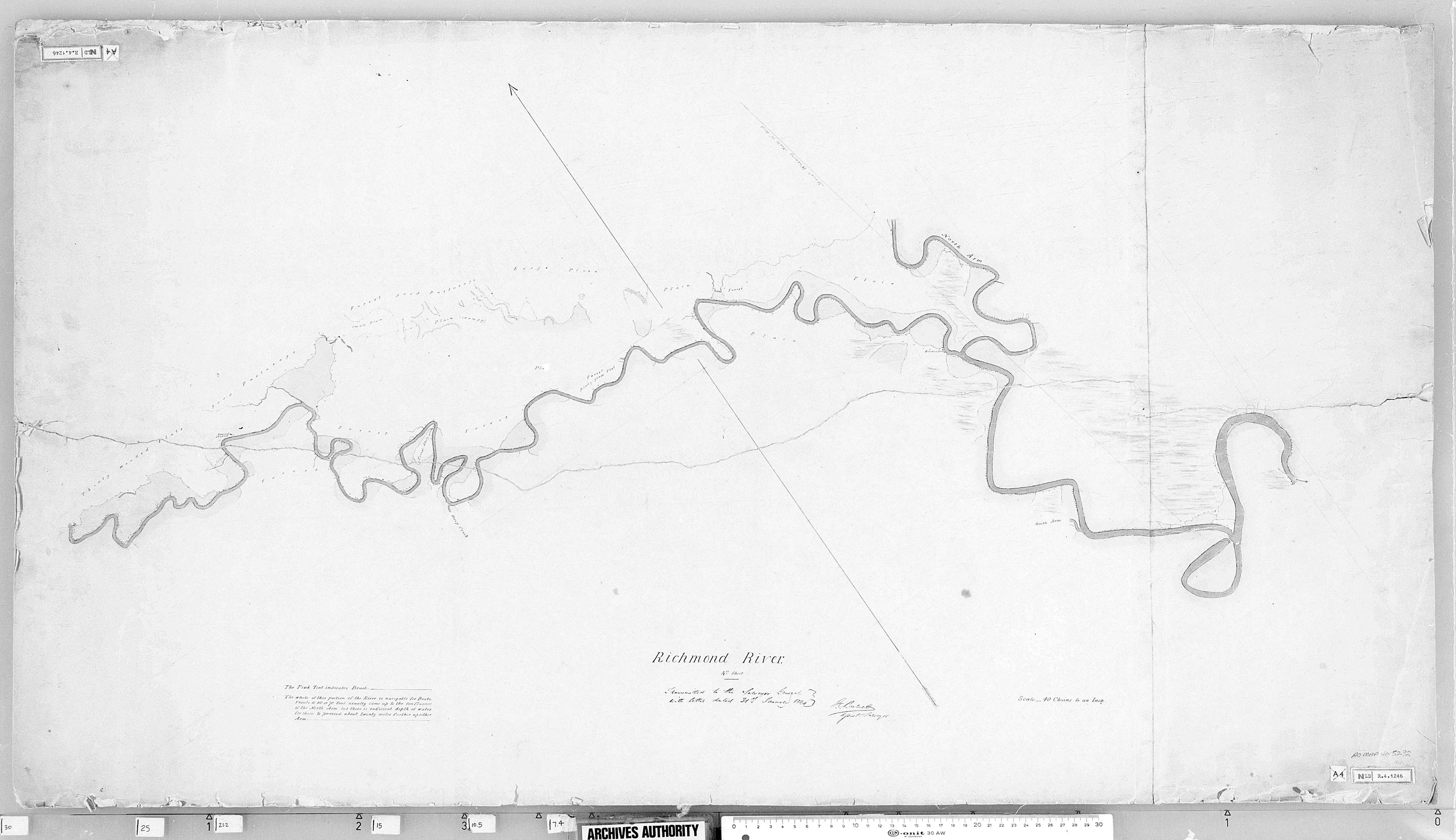
James Burnett (1844) Surveyor General’s Crown Plans 1792-1886. Museums of History State Archives Collection. Map 5292.
Local knowledge and the historical record
When Coraki was isolated for five days in 2022, some of those affected were encountering a major flood for the first time. The local knowledge that might have helped them — which roads close first, how the backwater fills independently of the main gauge, what the flood heights mean for a particular street — was not known by everyone.
Councils and agencies have undertaken a lot of the official groundwork to provide maps, flood records and emergency guidelines. What is rarely documented is the street-level knowledge held by long-term residents: accumulated over generations, easily lost as communities change, and most urgently needed in a crisis. This project aims to explore these two records (the official and the lived) to create an environmental history which is an interesting and useful contribution to the preparedness of this community.
The central premise of Living Memory Coraki is straightforward: people who know the flood history of their place are better prepared for the next time one comes.
Living Memory Coraki was developed and delivered between October 2025 and June 2026. It responds directly to the 2022 Northern Rivers floods and the recovery and resilience efforts that followed.

Coraki, 1917. Image courtesy of Mid Richmond Historical Society.

Coraki, 1948. Image courtesy of Mid Richmond Historical Society.

Coraki, 1954. This images demonstrates how the town becomes a series of islands in larger floods. Image courtesy of Mid Richmond Historical Society.
An environmental history
An Environmental History of Gurigay (Coraki), researched and written by Adele Wessell, traces the landscape of Gurigay (the Bundjalung word for 'where the waters meet') from First Nations custodianship through colonial transformation, two centuries of flood and recovery, and the community decisions that have shaped the town's relationship with water.
The research makes visible a tradition of local self-reliance that is largely absent from official disaster histories: residents who dug their own drains in 1894, organised flood boats in the 1950s, and built the institutions (the hospital, the cooperative, the SES, the neighbourhood centre) that have consistently filled the gap between community need and government response.
Forests were cleared, swamps drained, rivers dredged. Each intervention altered what came next. Understanding those decisions, and their consequences for flood behaviour, changes how you read a warning and how you prepare.
Where the waters meet
Read our environmental history to learn about the community decisions, and pattern of floods and recovery, that has shaped Coraki.
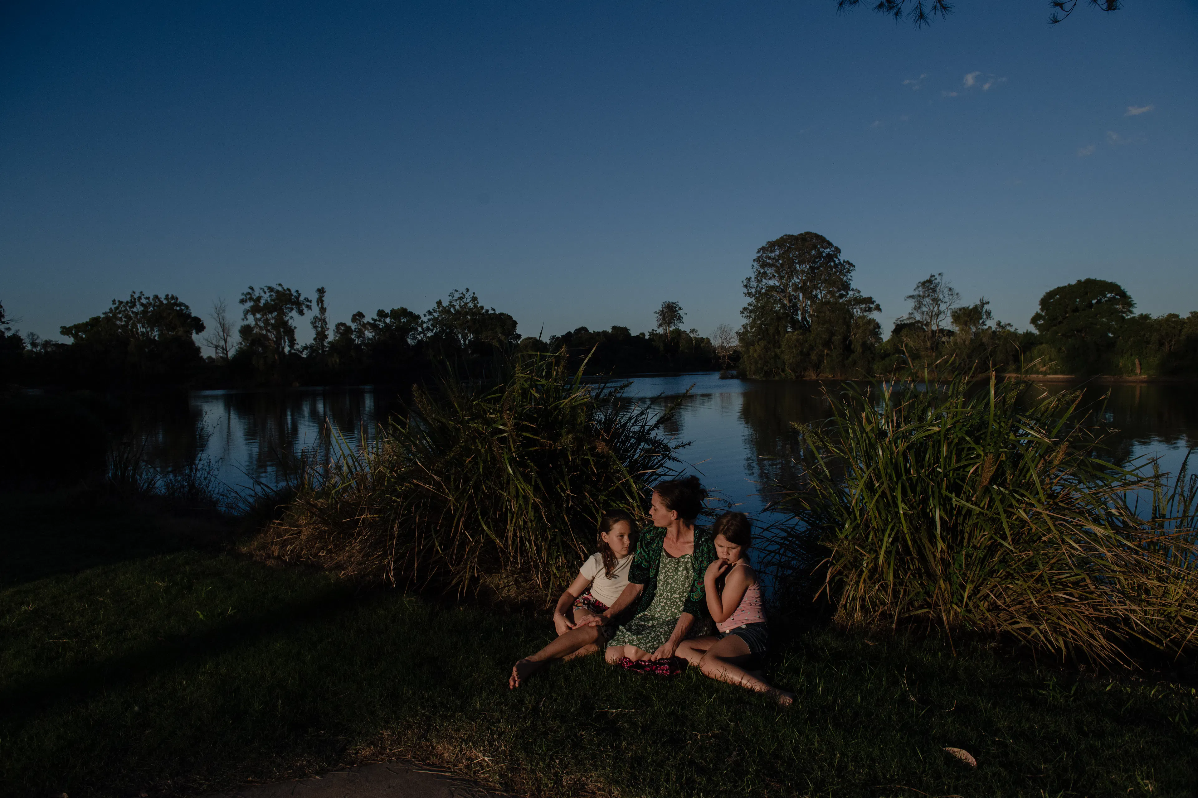
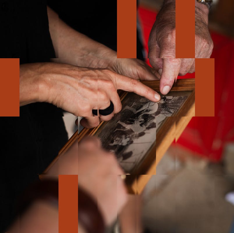
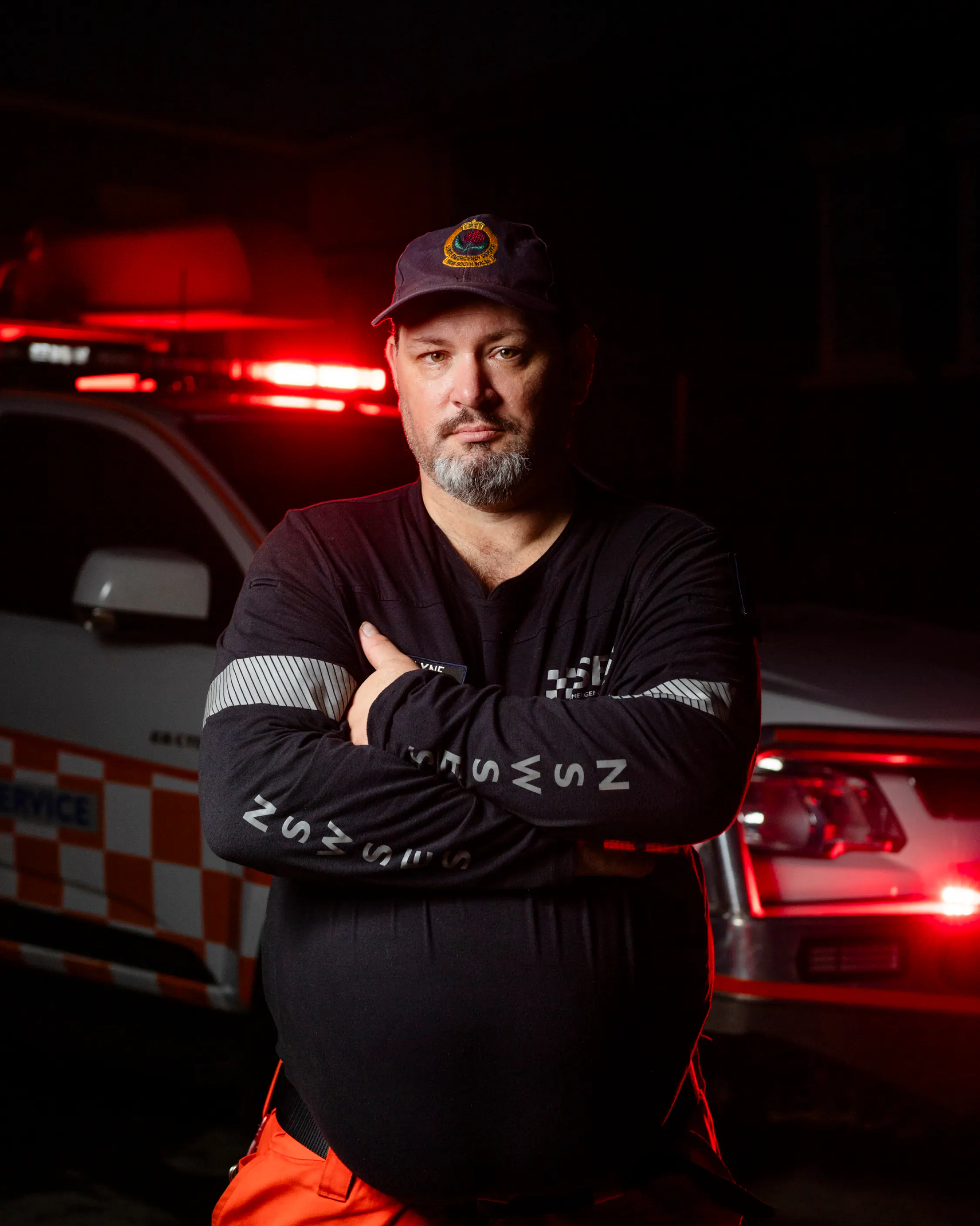
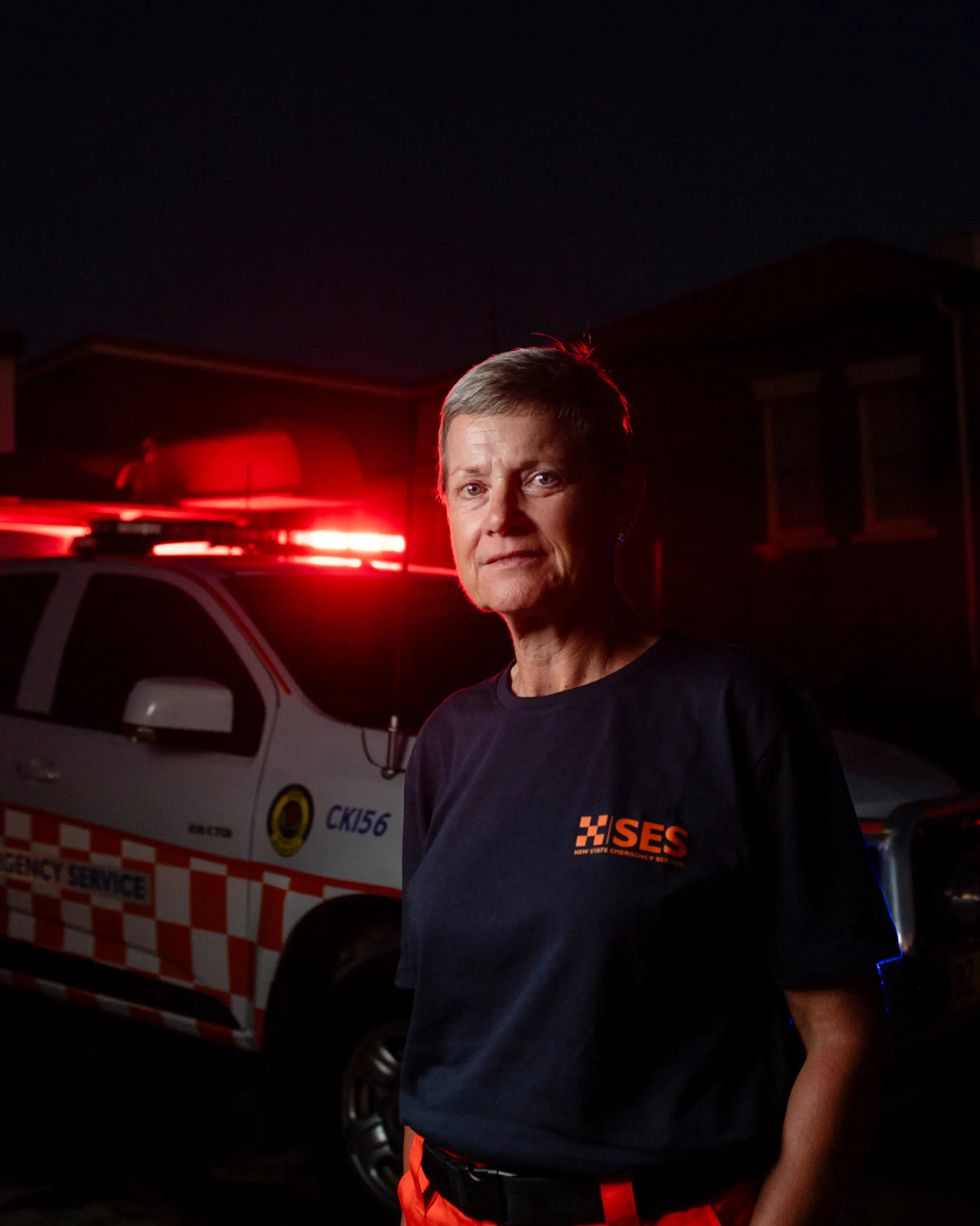
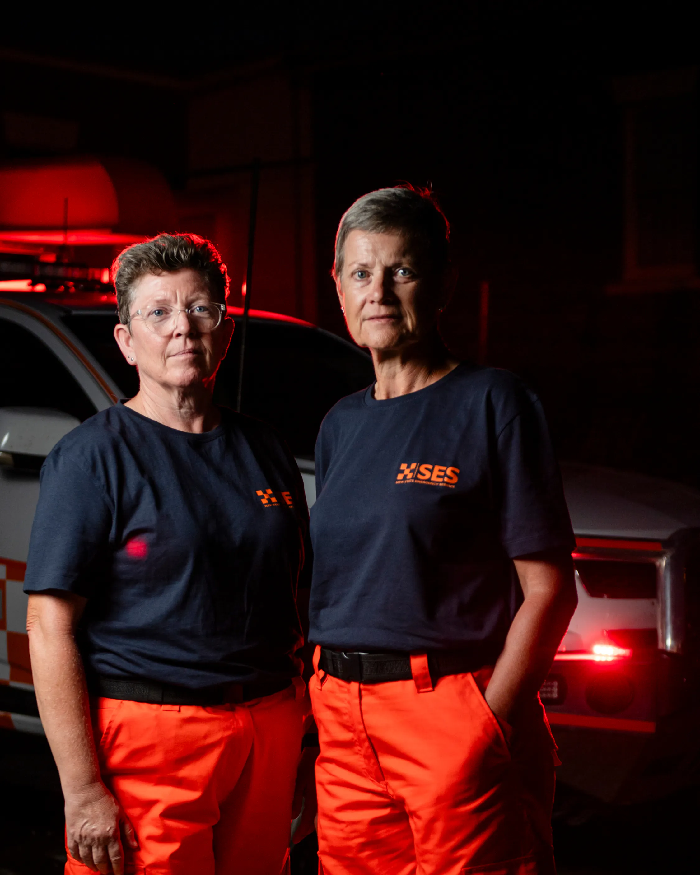
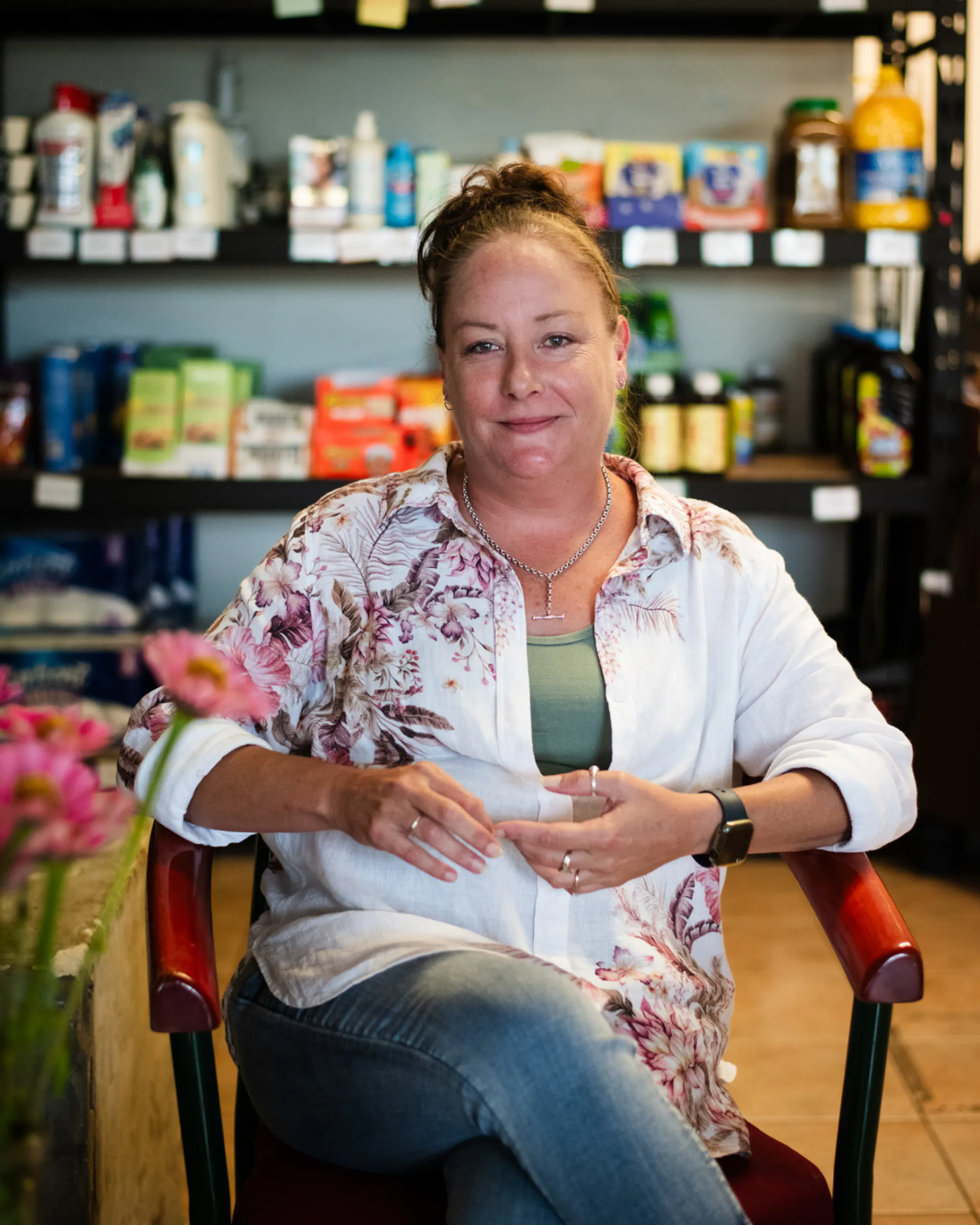
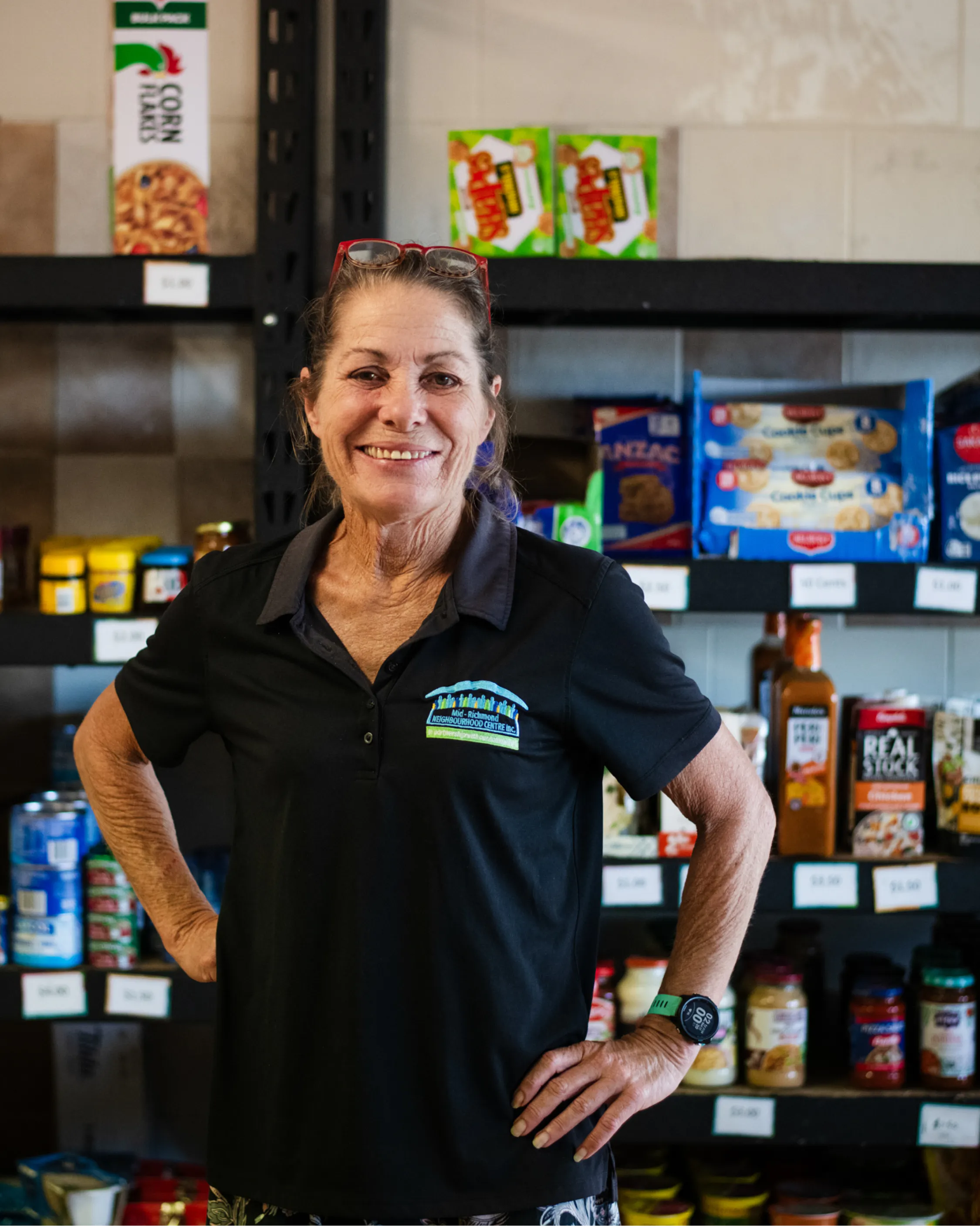
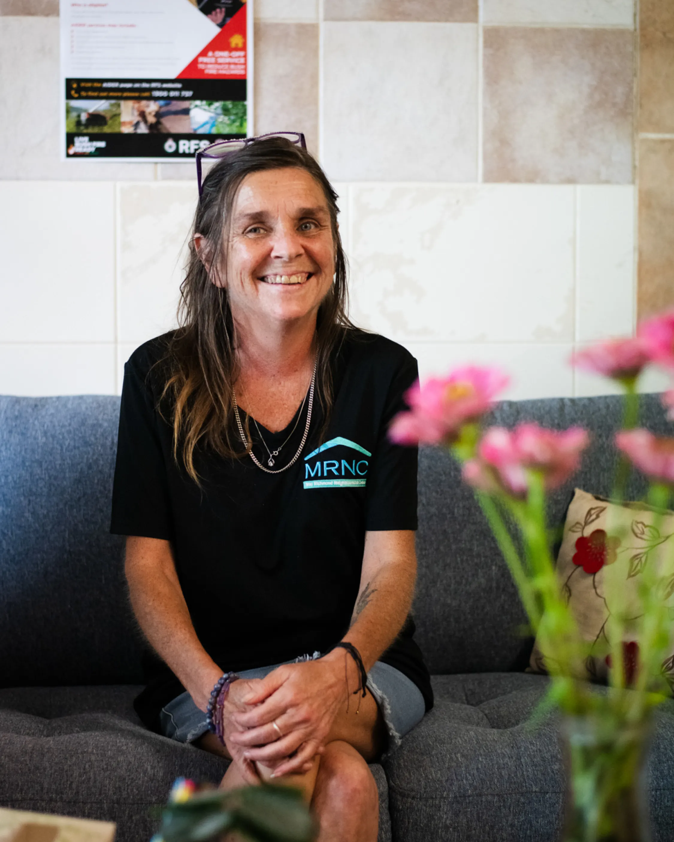
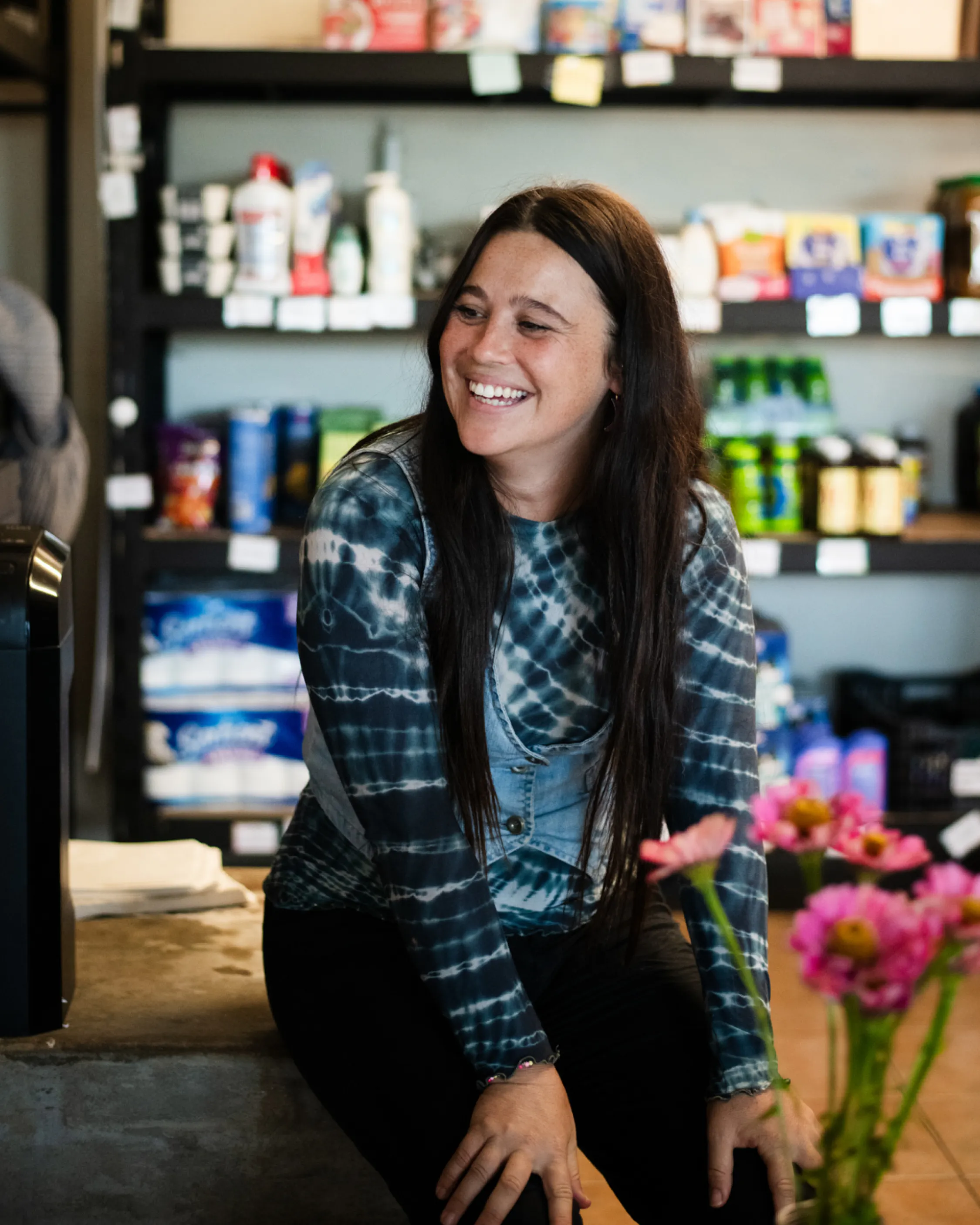
Portraits by the river, October 2025. Image by Elise Derwin.
How we worked
We began by meeting people. Between October 2025 and early 2026, we worked with Coraki's community organisations to understand what local knowledge they held and what resources they could share. Those meetings drew on the experience and archives of Kurrachee Co-operative Society, Plan C, Mid Richmond Neighbourhood Centre, Coraki SES, Mid Richmond Historical Society, Richmond River Historical Society, Richmond Valley Council and Coraki Library.
In October 2025, as part of Richmond RiverKeeper Riverfest, we held a community portrait session at Coraki Riverside Park. Photographer Elise Derwin captured residents by the river, continuing a tradition of river portraiture that spans generations in Coraki and adding to a living archive of people gathering where the waters meet.

Adele Wessell
'That connection, sustained across generations, expressed through labour and knowledge, stubbornly local, has shaped this landscape in ways that continue to resonate. The treatment of land and nature as a resource has not served Country or community well. The longer history of Bundjalung custodianship offers a different understanding: that country nourishes those who care for it, and that the meeting of the waters has always been, and remains, a place of enduring significance.'
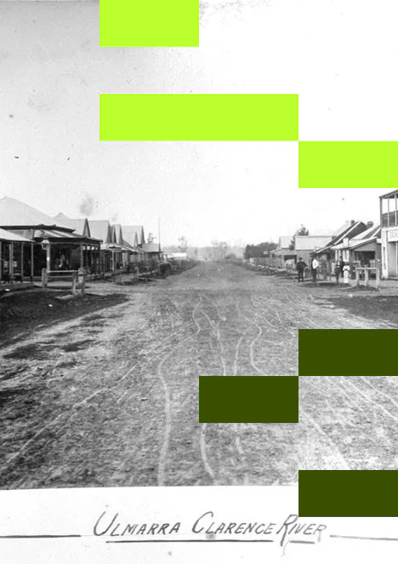
Living Memory Coraki is designed as a replicable methodology — developed to suit this place and community, and adaptable to others. Companion projects, Living Memory South Murwillumbah, Living Memory Ulmarra and Living Memory Lower Marshalls Creek applies the same approach in a different Northern Rivers community.
Project collaborators

Adele Wessell
Adele has been living in the Northern Rivers for 30 years and teaching history at Southern Cross University over that time. She is a founding member of Richmond Riverkeeper and currently working on a history of the Richmond River. Adele is a member of Richmond River Historical Society and has completed a number of projects on local history, including the development of the Richmond River Open Access Repository.

Elise Derwin
Elise is an award-winning photographer based on Bundjalung Country in Lismore, NSW, specialising in documentary and editorial photography.
Her images have featured in the Sydney Morning Herald, The Guardian, The Australian and other major newspapers. Elise has worked extensively across Australia, particularly in the Northern Territory, and completed assignments in the United States, Timor-Leste and Indonesia.
Fuelled by genuine connection to people and places, Elise aims to capture whole stories, not just moments. By taking time to know her subjects, she tells important, often personal stories through images filled with humanity and compassion.

Mackenzie Saddler
Mackenzie is a recent UTS Landscape Architecture (Honours) graduate dedicated to creating neutral and welcoming spaces that foster connection.
With a particular interest in integrating Indigenous Knowledges into urban and public space design, Mackenzie approaches each project with a commitment to honouring place and community.
He believes that if you look after place, and the community of that place, it will look after you, a principle that shapes the foundation of his work.
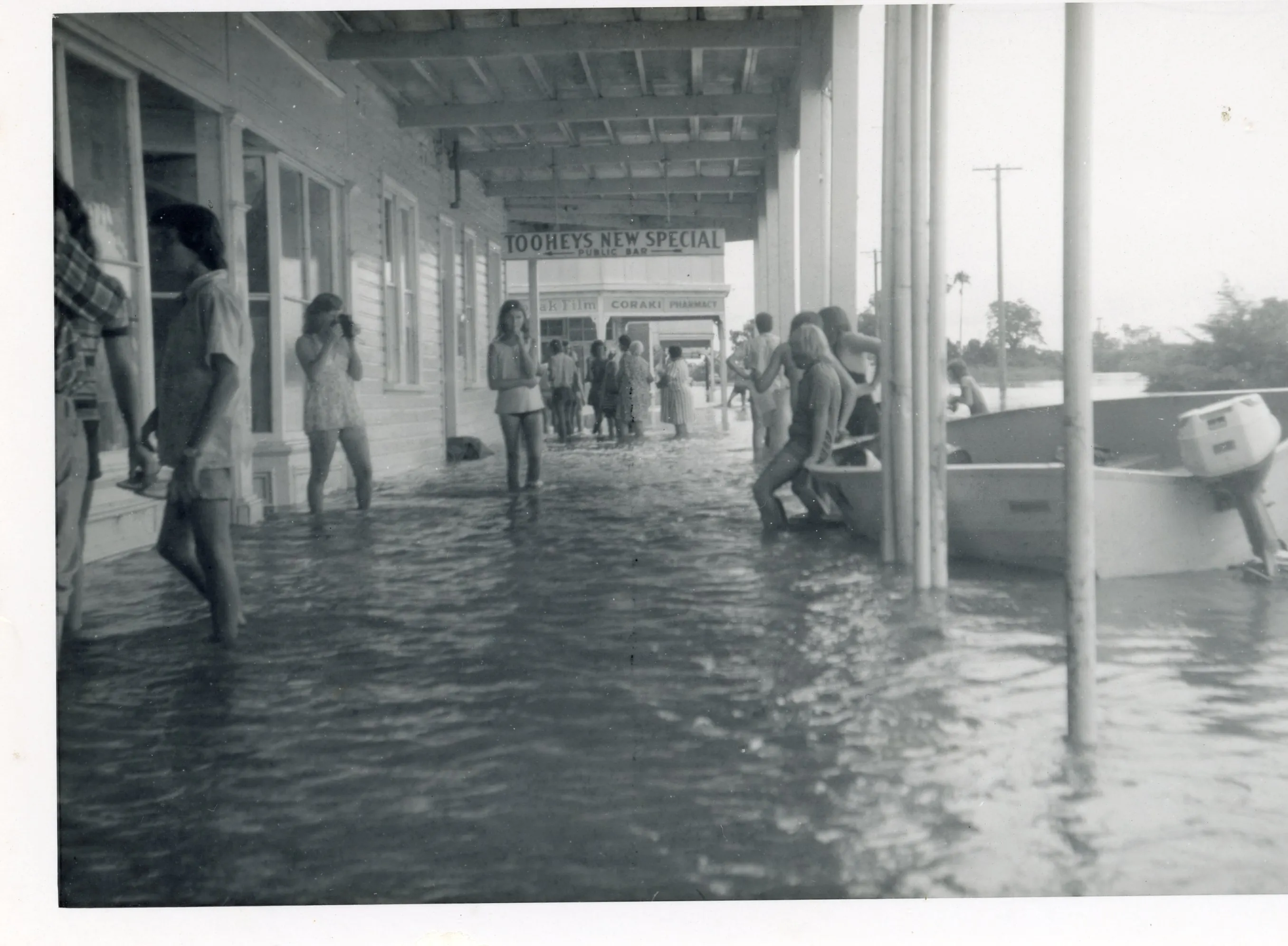
Coraki, 1974. Image courtesy of Mid Richmond Historical Society.
Thanks to Kurrachee Co-operative Society, Plan C, Mid Richmond Neighbourhood Centre, Coraki SES, Mid Richmond Historical Society, Richmond River Historical Society, Richmond Valley Council and Coraki Library for their contributions.
Living Memory Coraki received funding from the Australian Government through the Northern Rivers Recovery and Resilience Program, administered by NSW Reconstruction Authority.
__
Banner image: Coraki, 1921. Image courtesy of Mid Richmond Historical Society.